Weather Analysis Summary
Weather details for more than 500 cities, distanced from equator, are pulled and stored in different category lists like Latitude, Temperature, Humidity, Wind Speed and Cloudiness.
Python libray citipy is used to get the coordinates of the cities. Weather data for the cities are generated using the OpenWeatherMap API.
Data with humidity greater than 100 is removed from the analysis.
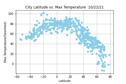
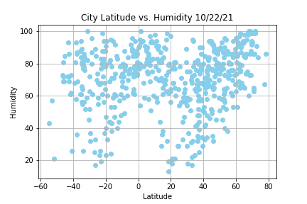
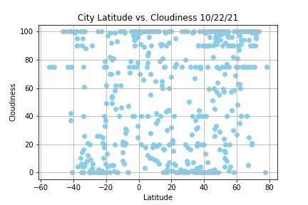
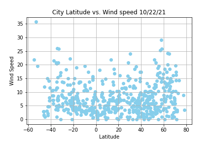
Using MatPlotLib, each city's maximum temperature, humidity, cloudiness, or wind speed are plotted with the latitude. Following Scatter plots are drawn to show the relationships.
- Temperature (F) vs. Latitude
- Humidity (%) vs. Latitude
- Cloudiness (%) vs. Latitude
- Wind Speed (mph) vs. Latitude
Visualizations